This post is number one in a series of posts I am doing which highlights the Apache experience in the Southwest.
Directions: To reach Fort Bowie Historical Park from Tucson, Arizona, take Interstate 10 east to Bowie, Arizona, Exit the interstate and drive downtown looking for the signs showing the turn off for the fort. This road is passable to all vehicles and there is only about 1 mile of dirt road travel.
Short history: The Butterfield Overland Stage Rout was a stage coach service starting in Memphis, Tennessee and Saint Louis, Missouri, and ending in San Fransisco, California. This route was built as a way to better connect the east and west coasts (Info from www.wikipedia.com). In Southeastern Arizona, water is a scarce resource and Apache Springs was an important water source before travelers crossed the Dos Cabesas Mountains by way of Apache Pass.
Prior to the Bascom Affair, the great Apache Chief Cochise generally left U.S.travelers alone preferring to raid the provinces of Sonora and Chihuahua in northern Mexico. This would change in 1861 because of a pivotal event in Arizona history called the Bascom Affair. In 1861, Cochise and some of his followers were summoned near present day Apache Spring by Lt. Bascom for a meeting regarding the kidnapping of a little boy. Bascom accused Cochise and the Chiricahua Apaches of the kidnapping. Cochise denied any involvement, however, Bascom did not believe him and announced his intention to detain the Apaches until the return of the boy. Cochise escaped by cutting a hole in the tent and running for the hills. After escaping Cochise's men took a number of hostages in an attempt to negotiate the release of his band members. Bascom refused and over time Cochise became enraged which led Cochise to kill the American hostages. Bascom responded by hanging all six Apaches.
The Bascom Affair had a negative effect on Apache-American relations. Cochise infuriated by the death of his brother and fellow Apaches, responded by raiding Butterfield stage coaches as well ranches throughout southern Arizona. As a response of the raiding, the U.S. Army established Camp Bowie to protect Apache Springs, travelers and southern Arizona residents from Apache depredations. After Cochise's death in 1877, the Apaches were removed from the Chiricahua Mountains to the San Carlos Reservation along the Salt River. Many Apaches did not want to be confined at San Carlos and followed Geronimo on a breakout from the reservation to continue raiding in Arizona and Mexico.
The American Army responded with a prolonged campaign against Geronimo. In 1862 Camp Bowie was upgraded to Fort Bowie. At the height of the Geronimo campaign, Fort Bowie had about 1000 men and women living in the canyon. The fort also had a pool hall, tennis court, and a Victorian two-story Commanding Officer's Quarters. In 1886 Geronimo and his supporters surrendered ending the Apache-Indian wars. The Apaches were transferred to Fort Bowie before being loaded onto trains at Holbrook, Arizona, where they were transferred to a prisoner-of-war camp in Florida.
After the Indian wars the fort's importance declined drastically until it was abandoned in 1894. A rancher owned the property and he scavenged the buildings for wood. In 1960 congress designated Fort Bowie as a National Historic Site. Today Fort Bowie is managed in a state of decay and there are no plans for restoration (Information from Arizona Ghost Towns and Mining Camps by Philip Varney and Cochise by Edwin Sweeney).
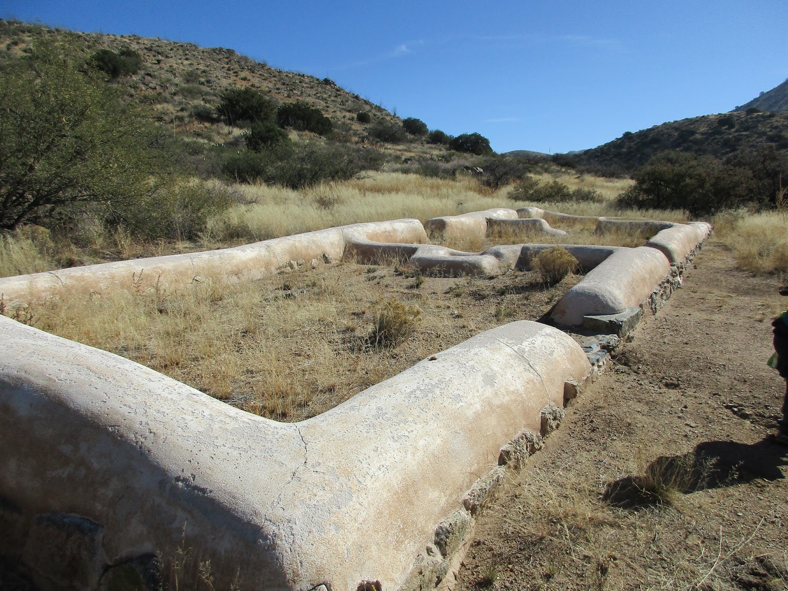
Visitor Information: If you visit there is a three mile round trip trail that takes visitors to the main ruins in the park. Highlights include the Butterfield Stage Coach Station, Post cemetery, Apache Spring, Indian Agency and the ruins of the main fort itself. A visitor center is open Wednesday - Sunday 8 am to 5 pm. Inside the visitor center a number of artifacts are on display . There are also post cards, t-shirts and books for sell. If visitors are interested a return trip over a hill gives hikers a fantastic view of the fort ruins and surrounding mountains. Please refrain from defacing the ruins or removing items from the park.